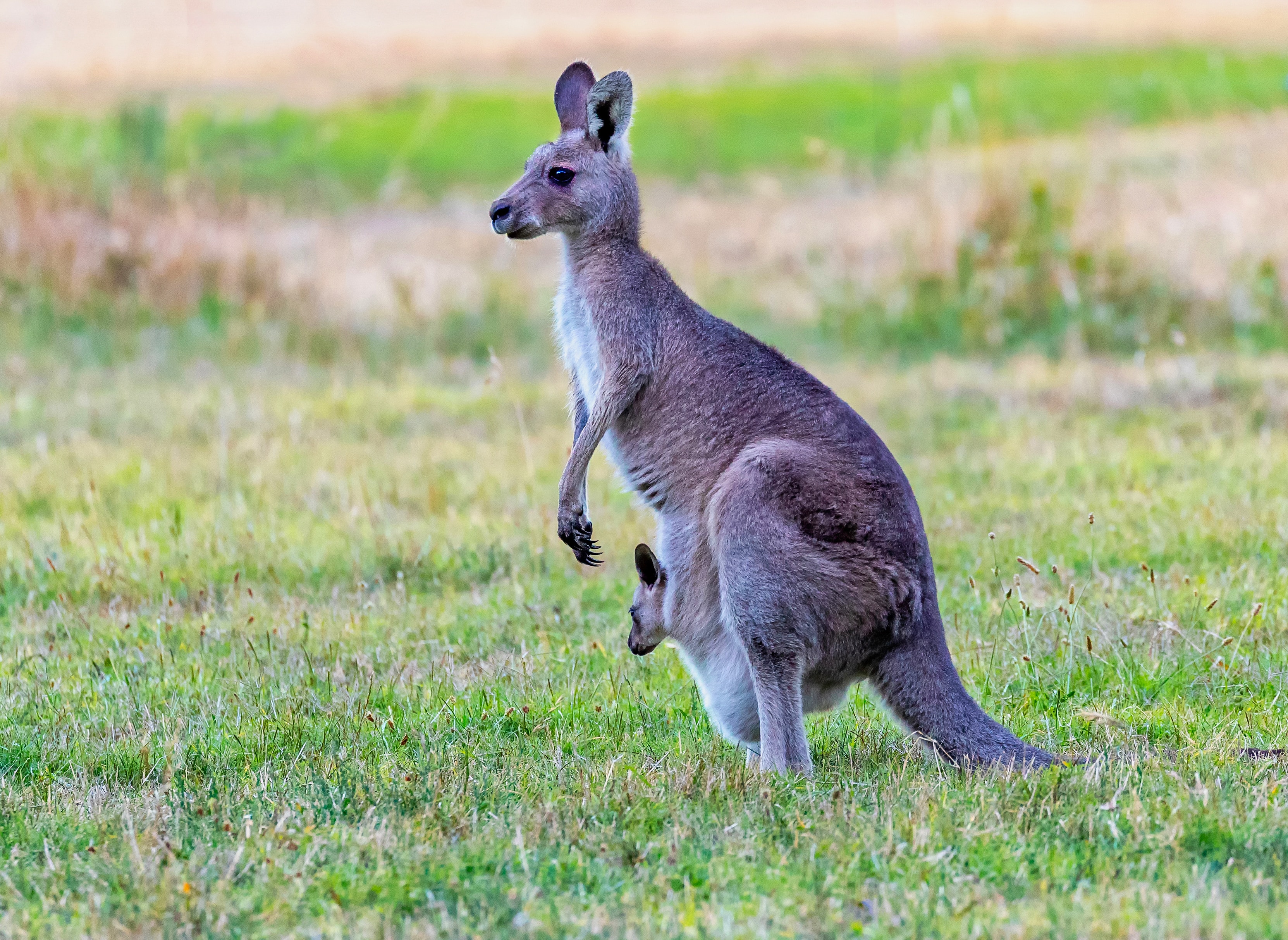
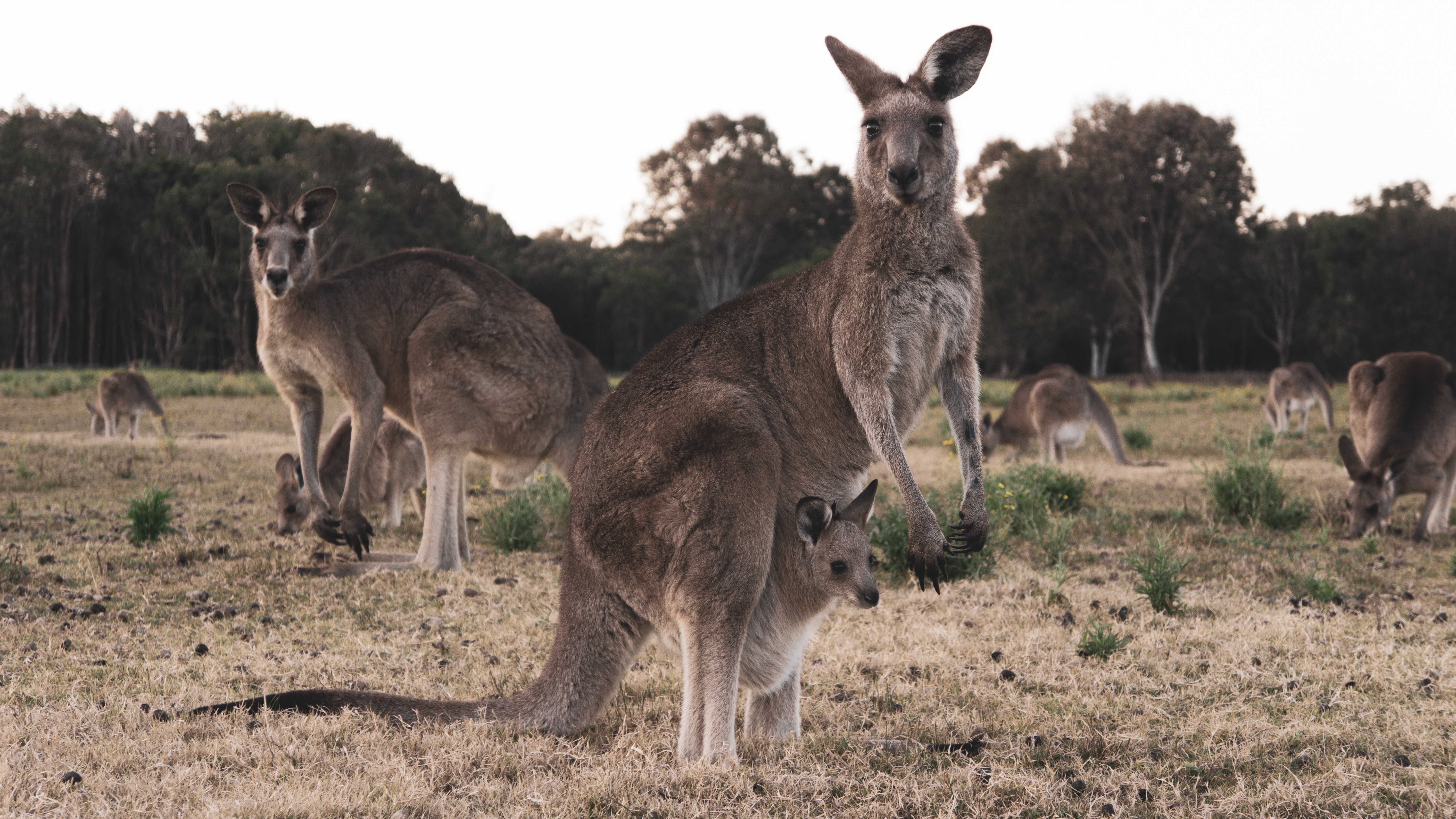
Our community used to be home to thousands of kangaroos. They are Australia's national animal and have been respected for thousands of years. Since the Industrial Revolution, us humans have been colonising the planet exponentially, transforming the face of the Earth to something we are used to seeing everyday. The urban environment has been growing, and will be growing, until there is no more land left. In our community, the exponential growth of the urban environment has caused the kangaroos to loose territory, thus trapping them with nowhere to go. If the kangaroos get scared, they flee towards these corridors of green land. These corridors have many obstacles in them, but the most fatal and roads and highways. Drivers don't know when to slow down, because they do not know when and how quickly a kangaroo might be crossing the road. This results in fatal deaths and death tolls. Our community has the most death tolls in the state. We need to save our kangaroos. If they die, then this could cause a chain reaction in the rest of the ecosystem.
|
We, along with many professors from various universities across the state, would like to make a change, and have proposed a solution to this ever-increasing issue. The Kangaroo Project is a project that uses GPS trackers attached on the Kangaroo to monitor the path and the current location of the kangaroo. If a kangaroo is close to a road, then speed signs will change the speed to 40km/h or less. All of this data is available on this website and in the future, in mobile apps. |
 |
|
We, along with many professors from various universities across the state, would like to make a change, and have proposed a solution to this ever-increasing issue. The Kangaroo Project is a project that uses GPS trackers attached on the Kangaroo to monitor the path and the current location of the kangaroo. If a kangaroo is close to a road, then speed signs will change the speed to 40km/h or less. All of this data is available on this website and in the future, in mobile apps. |
|
 |
A PyCom Module is used to collect the GPS coordinates of the kangaroo in latitude and longitude. This data is then sent to a base station (i.e. another PyCom Module on top of a really high hill) using the LoRa Network. The PyCom Module at the base station uses serial communication to pass the data to the Particle Electron, which is then used to send the data to the Particle Cloud. The data is then stored into a database which is then displayed here! For the speed sign, the speed sign obtains data from the Particle Cloud. It then calculates how far away it is from the sign. If the kangaroo is close, then it will change the speed to 40km/h or lower. |
|